Digital Elevation Models (DEM)

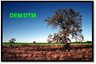
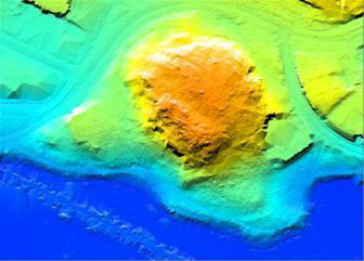
A Digital Terrain Models (DTM) is a 3D surface computed from a set of data points. Once a DTM has been created, contours, profiles and volumes between surfaces and 3D displays are available. Digital Elevation Models (DEMs) are digital files consisting of points of elevations, sampled systematically at equally spaced intervals. We produce DEM / DTM / DSM by using inpho products.

The DEM is directly used for the generation of numerous products, including Triangular Irregular Networks, ortho-rectification of aerial and satellite imagery, and the production of topographic maps. Geospatial applications include the creation of accurate floodplain maps, terrain models, transportation infrastructure planning and design basemaps, and land use management.

Digital Terrain Model