Our Products
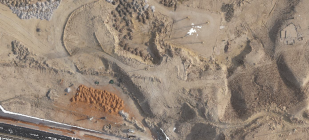
Orthophoto
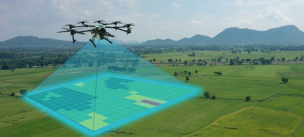
Whether you require a first generation base map or the next generation 3D fly-through. We apply the most appropriate technology to produce comprehensive and rich digital orthophotos.
Digital Elevation Models (DEM)
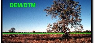
Fully detailed Digital Terrain Models (DTMs) for Contour Generation and Flood Plain Mapping as well as Digital Elevation Models (DEMs) for specialized applications such as 3D Modeling and Volumetric Calculations.
Digital Surface Model (DSM)
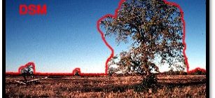
Innovision create a DSM that is especially useful in 3D modelling because objects extrude from the Earth, and it is relevant in Telecommunications, Urban Planning, Aviation and Forestry, etc.
Contour Lines
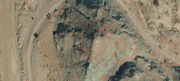
The company also produces Contour Maps from the data collected off Aerial Surveyies. Those Contour Maps shows the hierarchy of the site and shows the heights and decreases and level of gradation, by any terminator starts from 25 cm and extends to several meters and according to the request of the client, and can use the contour map with the aerial image and thus appear as a background image of the contour map As confirmation of the contour lines on the ground.
Vector Data
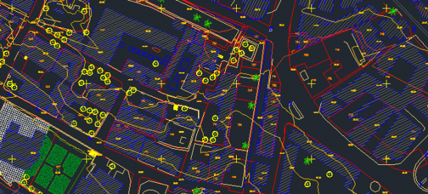
A representation of the world using points, lines, and polygons. These data are created by digitizing the base data. They store information in x, y coordinates. Vectors models are used to store data, which have discrete boundaries like country borders, land parcels and roads. Vector models are useful for storing data that has discrete boundaries, such as country borders, land parcels, and streets.
3D Point Cloud
In a three-dimensional coordinate system, these points are usually defined by X, Y, and Z coordinates, and often are intended to represent the external surface of an object. For example, in Aerial Survey and GIS, point clouds are one of the sources used to make digital elevation model of the terrain .They are also used to generate 3D models of urban environment.
3D Fly Through
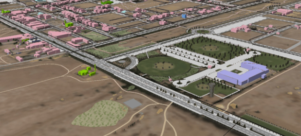
Innovision specialized in generating 3Dfly through using a DSM and aerial orthophotos over Saudi Arabia. This data will be acquired as part of deliverables for each project based on high resolution aerial imagery.
Survey Report
A survey report is a document whose task is to present the information gathered during the survey in an objective manner. It presents a summary of all the responses that were collected in a simple and visually appealing manner.
Cadastral Mapping
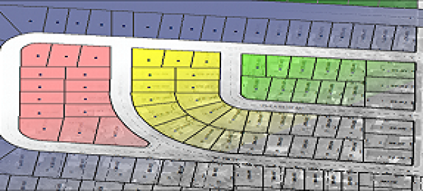
Innovision for research and land survey is high quality, accurate cadastral mapping. Thousands of parcels have been mapped by our staff using methodologies that have been evolved with changing technologies and refined through decades of experience.

