Vector Data

Picture5

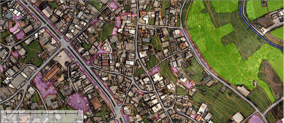
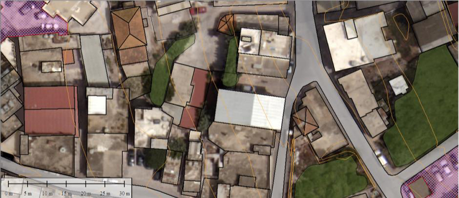
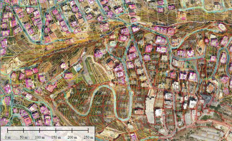
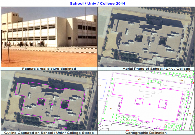
A representation of the world using points, lines, and polygons. These data are created by digitizing the base data. They store information in x, y coordinates. Vectors models are used to store data, which have discrete boundaries like country borders, land parcels and roads. Vector models are useful for storing data that has discrete boundaries, such as country borders, land parcels, and streets.

All Features will be captured in 3D from the Stereo Models. All Vertexes will include their Z Value

Digital Base Map

Geodatabase Development

A Geodatabase is a relational database that contains spatial and non-spatial objects. For Geodatabase Development we used ArcGIS Desktop which has many GIS tools and high-performance. ArcGIS supports many kinds of geodatabases, such as Access MDB, Microsoft SQL Server, and Oracle Spatial.