Drone Aerial Imagery is the first step for capturing the imagery/data for GIS and mapping of any location.
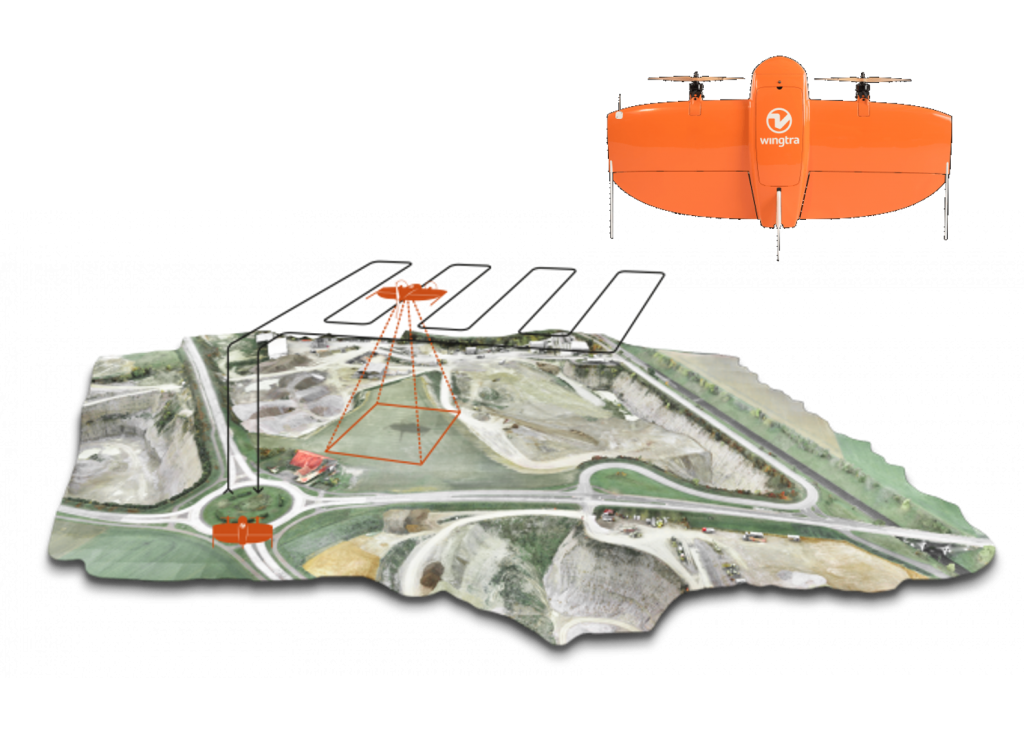
HOW UAV AERIAL IMAGERY IS DONE?
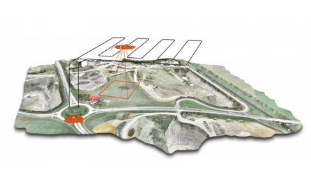
UAV Aerial imagery is a simple step to capture the images through a sophisticated high resolution camera mounted on an Drone.
These cameras are capable to take pictures at high speed
These cameras are synchronized with GPS and aircraft navigation system so that they can automatically shoot once they fly over the desired fly path.
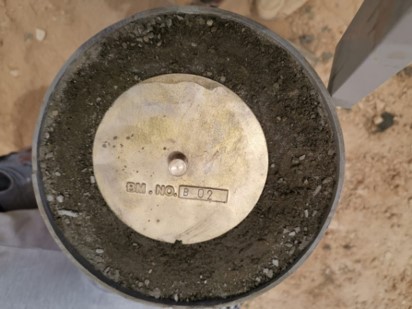
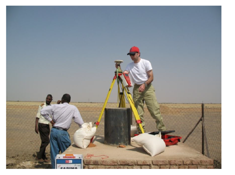
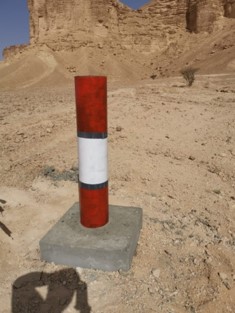
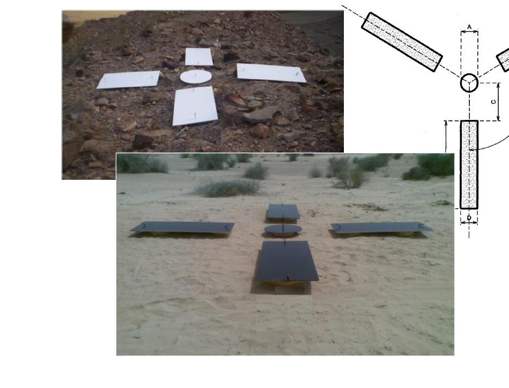
Ground control points are created on the ground with equipments that will coordinate with the aircraft GPS system
WHY UAV SURVEY
Much more accurate results
Immediate Data Capture
Fast Results
No Risk Contiues Extraction
Extraction of all Break Lines
Volume Calculation is made for the entire site
No GAPS
Image Analysis availability
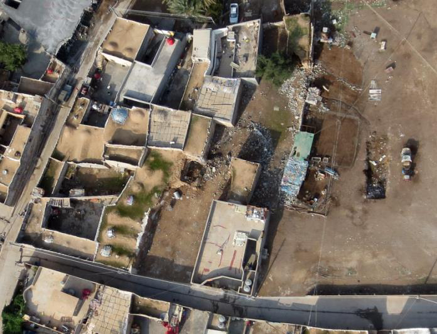
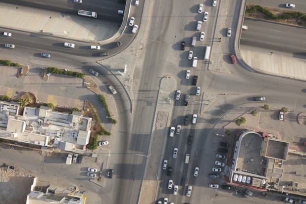
5 cm resolution raw image
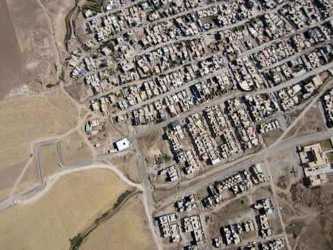
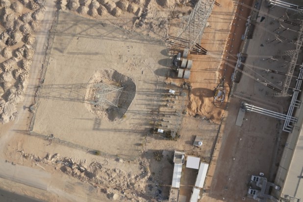
20 cm resolution raw image
Previous
Next
Previous
Next
Prior to the aerial photo acquisition and mapping, we will establish Pre-signalized ground control points based on the provided geodetic network using cutting edge technology and equipment for the survey including the last generation of GPS devices and software to insure perfect and reliable results.