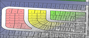
Innovision for research and land survey is high quality, accurate cadastral mapping. Thousands of parcels have been mapped by our staff using methodologies that have been evolved with changing technologies and refined through decades of experience.
Innovision for research and land survey continues to deliver quality cadastral solutions to support GIS for local government, real property appraisal, and location analysis.
Over staff includes experts with vast years of cadastral mapping experience and number of certified Cadastral Mapping Specialists (CMS)
Our cadastral GIS solutions include:
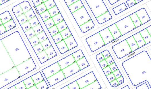
- 1.Cadastral GIS conversion for counties/cities from official land record documents, which might include tax records, legal descriptions, subdivision plats, surveys or deeds.
- Digital document capture and indexing of recorded documents-produces a valuable library of digital documents that can be easily stored and accessed through GIS.
- Cadastral GIS conversion from existing cadastral maps – Innovision will take your hard-copy maps and move the information to GIS.
- Spatial adjustment to new digital orthophotography.
- Reconstruction of data to improve topological quality and spatial accuracy.
Our Services related to land registration include:
- Deed and Plat Scanning
- Full Re-mapping via COGO (deeds/plats)
- Transfer / Best-Fit Mapping
- Hybrid Mapping
- Parcel Maintenance Solutions