Our Services
Research & Development
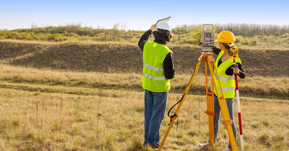
We are a team of Highly Qualified Professionals to undertake high quality research, collect statistically reliable data to be disseminated to a wide array of internal and external stakeholders.
GIS Service & Solution
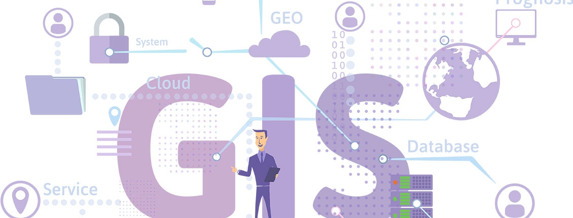
GIS is a set of techniques used to accomplish specific goals, most Important is the Inquiry about the geographical features on the surface of the earth, and it is displayed characteristics From the Database containing all Data.
Mobile Mapping
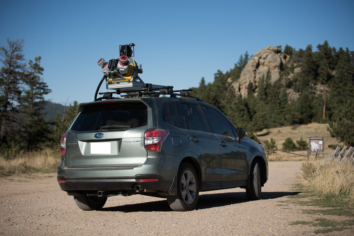
We have years of experience in researching and working with exciting new technology 3D panoramic imaging. It is not 100% but it seems like 3D walkthrough without spending much time to rendering the whole sequence of animation.
Aerial Survey
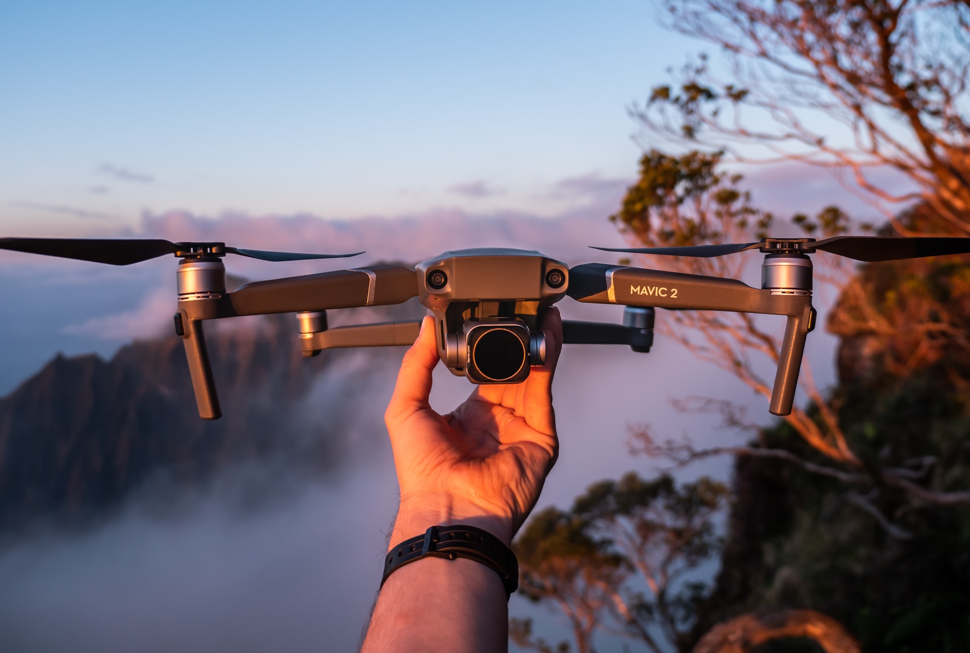
Drone Aerial Imagery is the first step for capturing the imagery/data for GIS and mapping of any location. UAV Aerial imagery is a simple step to capture the images through a sophisticated high resolution camera mounted on an Drone.
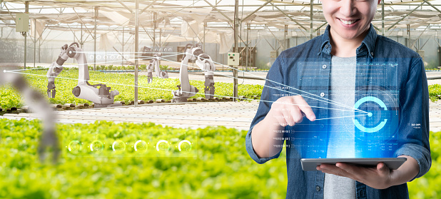
Agriculture Monitoring
We can make one off or regular daily, weekly, and monthly or yearly visits to help determine trends and poor areas of growth and allow you to take mitigating actions before it’s too late.

