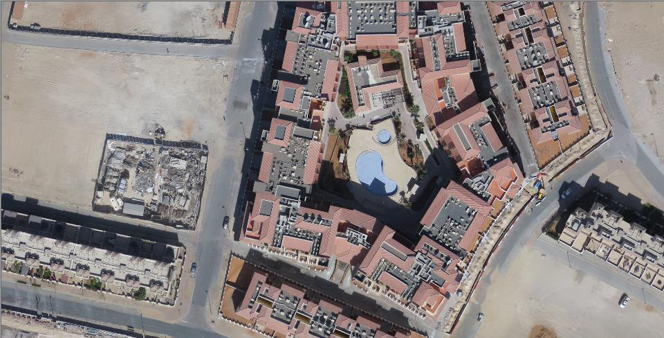
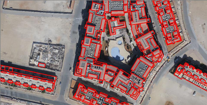
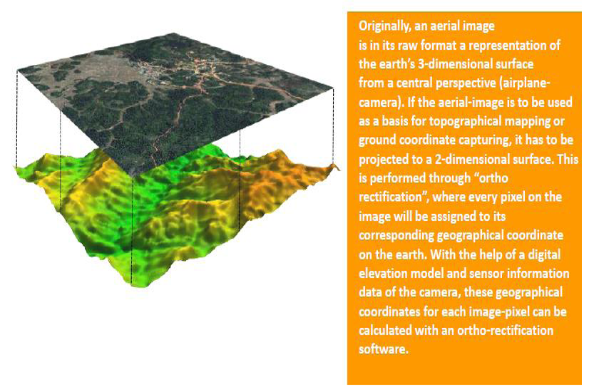
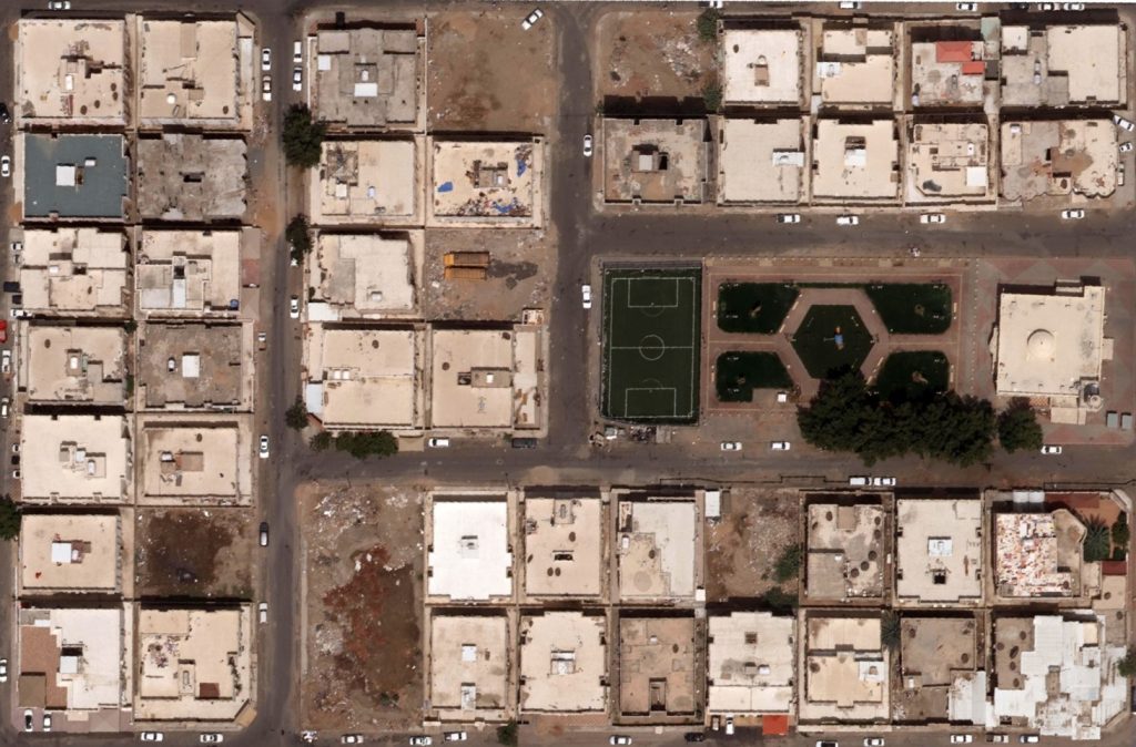
We are equipped with all sets of skills and software to create highly accurate and aesthetic orthophoto maps from Aerial and Satellite imageries. We have well defined automatic and manual processes to create seamless color balanced Orthophoto mosaics and tiles at all mapping scales. Our capabilities to analyze and create accurate DTM further helps to create accurate true Orthophoto maps in areas of elevated surface features like Flyovers, bridges, overpasses, underpasses and tall buildings.